Accurate
Drone Services
Our drone survey service provides a panoramic view of your project pre, during and post works and details everything from boundary lines and topography to existing condition, opportunities and risks.
It provides a 360° perspective through aerial and panorama giving a holistic, comprehensive and re-playable understanding of your project and the land on which it’s to be built.
The proposed benefits are, reduced Risks, improved Reporting, accurate Results and an accurate record of Progress.
Why can a drone survey be used?
A drone survey may be recommended when the survey requires large areas of data in otherwise inaccessible or hard to reach locations. The use of a drone is faster and easier for inspecting high level areas or areas where it may not be safe to walk or the use of high-level access equipment would be impractical. A desktop assessment can quickly risk assess suitability to use a drone. Sometimes, permissions or other considerations in relation to access over public roads, footpaths and neighbouring buildings or airports is important to secure in advance.
What are the benefits of a drone survey?
Drones capture high-resolution images and videos allowing for more detailed and accurate reporting. This can be crucial in construction, agricultural and environmental monitoring. The output survey covers every detail and the resulting footage can be used to hone in, pause, zoom and replay areas of interest as opposed to the traditional stills.
The surveys can produce both aerial and panoramic perspectives giving holistic coverage which can be used for a variety of surveys including but not limited to, habitat, topography, land use, hazard spotting, points of interest, visual impact assessment, archaeology, drainage, record of condition and construction progress.
Equipped with GPS and other sensors, a precise location can easily be identified and flight paths repeated. This feature is especially useful for monitoring the progress of long-term projects or assessing changes over time.
With a drone, it is possible to carry out topographic surveys of better quality then the results collected by traditional methods, but also in a fraction of the time and with greater coverage. This substantially reduces the time required to complete a site survey and the workload of specialists in the field. The data can be collected by a technician and then interpretated and annotated by a land specialist, thus reducing the need for surveying time in collecting the information to be recorded.
The use of Drones as opposed to handheld equipment means the operator is able to access inaccessible or difficult areas without posing any risk to themselves or others. The drone coverage is far wider and more detailed but takes less time than walking the whole area.
What data can a drone survey produce?
More traditional drones produce a variety of imagery, both close-up details and wide-angle overview shots, as well as panning and fly-through videography. Data from drone surveys can also be captured in 2D and 3D formats with a range of additional options available, such as point cloud data and ortho-rectified photography to ensure any high-level technical detail is captured to support a project. Drone surveys can also combine high resolution photographs with GPS location information to provide a reliable and accurate information package.
What's trending
Crown Estate
The Crown Estate released its latest update on the Celtic Sea leasing for floating offshore wind in May 2023, and has now informed developers that it will set out next steps as the UK Government concludes its consideration of these issues and that it will soon circulate further information on the programme as well as a date for the next developer webinar event.

Biodiversity legislation
Biodiversity Net Gain (BNG) is the ecological principle whereby a development site that has been granted planning permission leaves the natural environment in a measurably improved state than it started. This is generally accepted through the Environment Act 2021 to be a 10% net gain through habitat creation and enhancement. The approach of BNG relies on developers, landowners and individuals developing land to work with local governments, wildlife groups, landowners, and other stakeholders to support the priorities for nature conservation. It will be a requirement from November 2023 and for NSIP’s a year later in 2024.
Ofgem
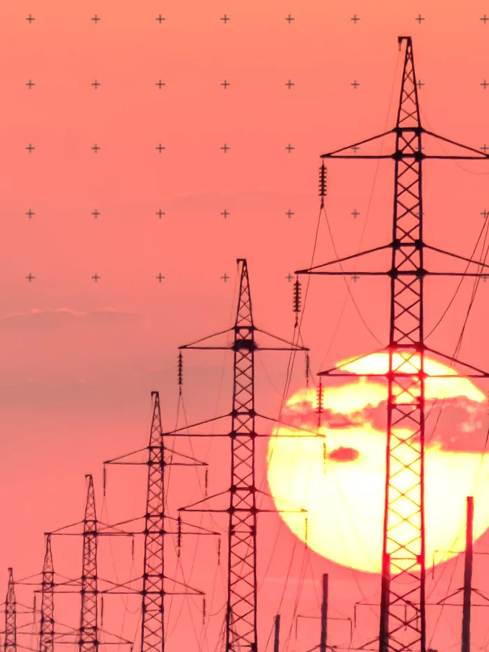
The British Energy Security Strategy set out the Government's ambition to connect up to 50GW of offshore generation to the electricity network by 2030. Facilitating this ambition will require significant reinforcements to the onshore electricity transmission network and a change to the current regulatory framework in order to accelerate delivery of large projects. Ofgem recently announced the introduction of a new Accelerated Strategic Transmission Investment (ASTI) framework.

National Grid ESO
Released in 2022 The Holistic Network Design (HND) is a first of its kind, integrated approach for connecting 23GW of offshore wind to Great Britain.
By considering future offshore generation out to 2030, infrastructure can be planned to bring power to the grid cohesively, ensuring maximum benefit for consumers, local communities and the environment.
The HND provides a recommended offshore and onshore design for a 2030 electricity network, that facilitates the Government’s ambition for 50GW of offshore wind by 2030.
The HND enables investment and delivery of infrastructure, including locations in North and South Wales, the Scottish Islands and West Coast, and the East Coast of Scotland and Aberdeenshire, Lancashire, North-East England, Yorkshire and Humber, opening the door for more jobs and economic growth in these regions.